


© Clent P.C.C. 2024
GALLERY
Click to enlarge images
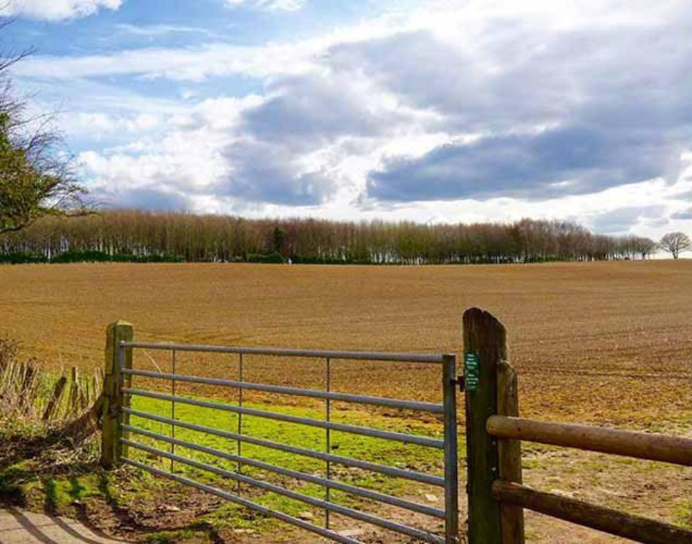
Characteristic
of
the
rural
scene
in
this
‘hilly end’ of Worcestershire
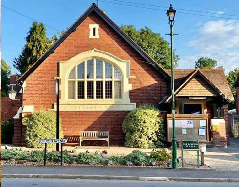
Clent’s
Parish
Hall,
home
for
local
song
and
dance,
the
meetings
of
societies,
and now the home of ‘
Clent Connect
’
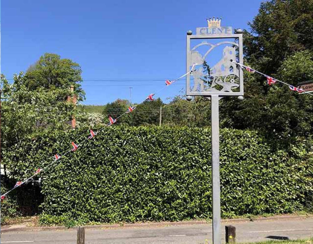
The
village
sign,
located
in
Church
Square,
showing
our
rural
scene
in
cut-
out metal relief.
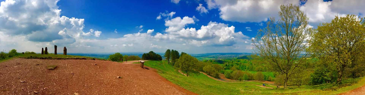
Overshadowing
Clent
village
is
..
Clent
Hill
..
with
the
‘Four
Stones’
folly,
giving
distant
views
across
Worcestershire
and
Shropshire towards the Welsh Hills.
Clent
Hill
is
almost
the
last
in
a
chain
of
hills
on
the
edge
of
the
Midlands
Plateau
and
are
part
of
a
pathway
south
of
Birmingham
-
the
North
Worcestershire
Way
(27
miles)
-
leading
westward
through
the
Clent
Hills
Country
Park
:
_
Lickey
Hills,
Beacon
Hill,
Waseley
Hill,
Romsley
Hill,
Walton
Hill,
Clent
Hill,
Wychbury
Hill,
then
across
valley
of
the
the
River
Stour,
and
up
again to Kinver Edge.


© Clent P.C.C. 2024
GALLERY

Characteristic
of
the
rural
scene
in
this ‘hilly end’ of Worcestershire
Clent’s
Parish
Hall,
home
for
local
song
and
dance,
the
meetings
of
societies,
and
now
the
home
of
‘
Clent Connect
’
The
village
sign,
located
in
Church
Square,
showing
our
rural
scene
in cut-out metal relief.
Overshadowing
Clent
village
is
..
Clent
Hill
..
with
the
‘Four
Stones’
folly,
giving
distant views across Worcestershire and Shropshire towards the Welsh Hills.
Clent
Hill
is
almost
the
last
in
a
chain
of
hills
on
the
edge
of
the
Midlands
Plateau
and
are
part
of
a
pathway
south
of
Birmingham
-
the
North
Worcestershire
Way
(27
miles)
-
leading
westward
through
the
Clent
Hills
Country
Park
:
_
Lickey
Hills,
Beacon
Hill,
Waseley
Hill,
Romsley
Hill,
Walton
Hill,
Clent
Hill,
Wychbury
Hill,
then
across
valley
of
the
the
River
Stour,
and
up
again
to Kinver Edge.